Data Tips
Technical Guides & other documentation
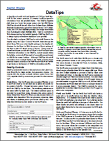
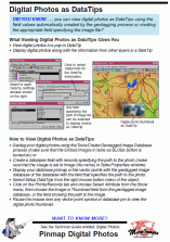
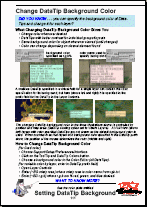
TNTmips provides several ways to present information about the cursor location from the geodata layers in a View window. Standard DataTips are easily configured by the end-user via interactive controls. Enhanced DataTips, GraphTips, and Tools are set up using scripts that can be packaged with a set of geodata layers in a group or layout, ready for use by the end-user.
